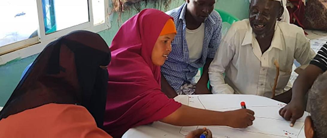
Secure Fisheries facilitated interactive oceanographic mapping exercises in Somali fishing communities to highlight local fishing boundaries, identify potential conflict hotspots, and provide ecosystem and catch information to form the foundation for fisheries co-management. Community members were provided blank maps and asked to identify where they live, where they fish for particular species, and where they encounter foreign vessels, among other information that will lead to a comprehensive understanding of their use of the marine environment. The information will be compiled as a digital map that will be a useful tool for future management planning.