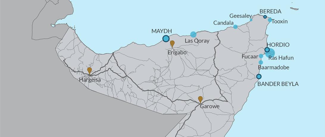
Secure Fisheries’ Paige Roberts presented her report, Somali Coastal Development Opportunities, at the 21st Annual Society for Conservation GIS Conference in Monterey, California. The Conference focused on using geographic information systems (GIS) to integrate the use of traditional, local knowledge in resource conservation. Roberts described how she used GIS to determine development gaps in Somali coastal communities through the creation of an interactive tool called Project Badweyn. Project Badweyn and the latest report use GIS to combine scientific fish catch data from Secure Fisheries and Sea Around Us with human uses of the marine and coastal space. By visually layering resources and human activities, Project Badweyn seeks to determine potential resource conflict hotspots and development opportunities that benefit local fishers and promote environmental sustainability. In the report, Roberts uses Project Badweyn to identify underserved communities, and Secure Fisheries’ field manager, Ahmed-yasin Moge provides local knowledge from those communities to inform future fisheries development and management.